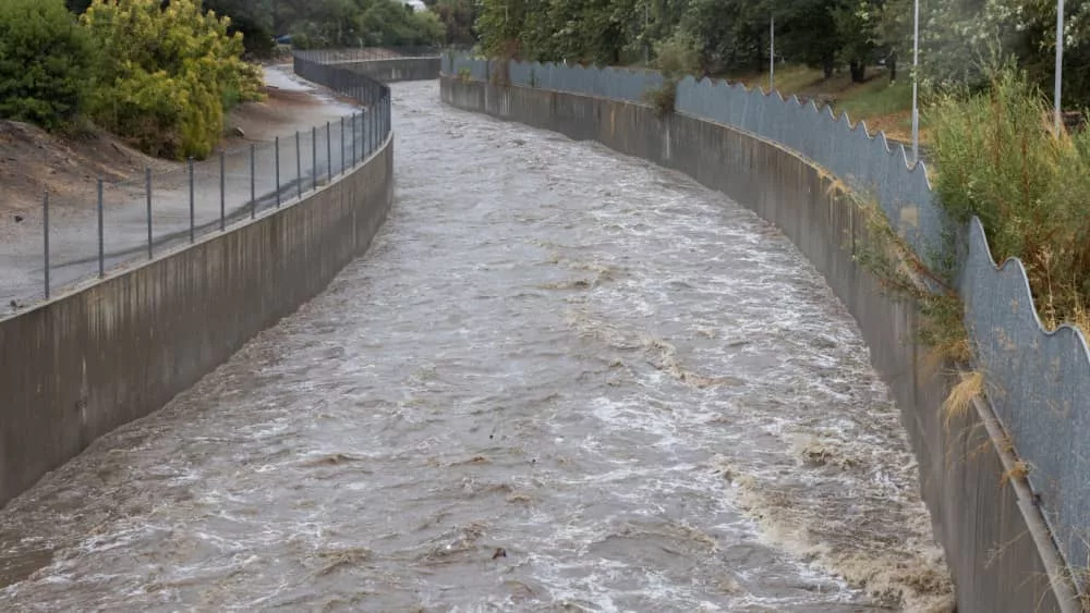
The National Weather Service said that the powerful atmospheric river that arrived on Sunday in California will bring with it very heavy rain and potentially life-threatening flash flooding as well as mountain snow. The impact of the storm can threatened property and travel for days.
The new weather forecast comes shortly after a storm and a low-end atmospheric river affected the state from Wednesday to Thursday. Rain will continue through Tuesday with a high threat of excessive rainfall and flooding, with the National Weather Service saying that the heaviest rain has shifted to Los Angeles County and will last longest over the region as the system arrives. High rainfall totals are anticipated, including 4″-8″ for LA County, 8″-14″ for the mountains and foothills, with a 20-percent chance of thunderstorms and the threat of widespread flooding.
Mayor Karen Bass during a news briefing: “Angelenos, my pledge to you is to keep you informed and to make sure the city is operating in an all-hands-on-deck manner to keep Angelenos safe. Storms can change quickly, but let me be clear: this storm is a serious weather event. This has the potential to be a historic storm, severe winds, thunderstorms, and even brief tornadoes.”
The NWS has issued a winter storm warning for Ventura County and northward, as well as for the mountains of San Bernardino and Riverside counties, including Big Bear City, Big Bear Lake, Running Springs, and Wrightwood. Los Angeles County is under a gale warning, which means sustained surface winds, or frequent gusts, in the range of 34 knots (39 mph) to 47 knots (54 mph).
Evacuation warnings and orders have been issued for five counties, including for Los Angeles, Santa Clara, Santa Barbara, Ventura and Monterey.
Editorial credit: Sam the Leigh / Shutterstock.com
